Tropical Activity For July 3rd
Hello everyone on the day before the 4th of July. Currently things are relatively quiet in the tropics, outside of an area of disturbed weather across the Caribbean which likely doesn’t have much chance of development in the next 48 hours. This post will primarily be to describe my forecast for Arlene and what went right and wrong.
Arlene Postmortem

Tropical Storm Arlene Verification Forecast #1
Arlene dissipated over the high terrain of Mexico back on Friday, July 1st, and its time that I grade my forecast that I made back on Wednesday. While over all it was a hard forecast to screw up given that it was only needed 48 hours in advanced as the storm quickly move inland, it still possessed some intensity and track challenges. Overall, I am satisfied with my intensity forecast, with the landfall intensity of 65mph being 5mph from my forecast landfall intensity. There was a risk of the storm rapidly intensifying under favorable upper level winds, high sea surface temperatures, and ample moisture in the atmosphere, but the large and broad nature of the circulation center proved too difficult to overcome in such a short span over open waters. Trackwise, I didn’t do quite as well, since the system stayed primarily south of my forecast track, although much of this was due to a center relocation during the day on Thursday. Timing wise, I was on par with my expectations, and the storm made landfall roughly as the time period I was expecting on Friday morning. Overall, I gave myself a B+ for intensity and a C for track with Arlene. Feel free to comment below this post if you agree or disagree with my assessment. I’ll try to give these critiques for each of my forecasts for each storm that I issue forecasts for this hurricane season, and feedback is certainly appreciated and wanted!
Weak Tropical Disturbance

Tropical Disturbance in the Caribbean
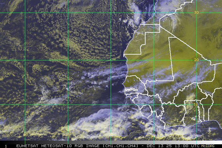
Back to whats going on right now, which honestly is not that much. Currently we do have some showers and thunderstorms stretching from the central Caribbean up to north of Hispaniola, but it does not appear that we have any organized system at this time. Upper level wind shear is currently not supportive of development, with 20-40 knot westerlies shearing active convection in this region. These upper level westerlies are forecast to decrease as an upper level ridge builds over the western Caribbean, but it remains to be seen if there will be a feature substantial enough to take advantage of the more favorable conditions. At this point, there are only a few spots of weak to moderate 850mb vorticity, nothing that points towards a robust disturbance. Thus, at this point, its rather unlikely we see any development out of this broad area of thunderstorm activity and I am giving it no chance of development in the next 48 hours.
Elsewhere, we don’t have much else going on in the tropics… despite the MJO being in the favorable phase for convective proliferation across the Atlantic Basin. One problem might be the fact that the MJO thus far has stayed relatively week, although the forecast it for it to become increasingly amplified over the next week, so this might soon change. However, without any initial disturbance to go by, it remains to be seen if we will have any activity in the tropics beyond on the next 48 hours. July can still be a slow month, and last years activity didn’t ramp up until the middle of August, so its not suprising to see the tropics remaining inactive during this time of the year.
This concludes another update of the tropics. I’ll report again as soon as we have more activity to discuss!